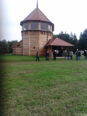
Magyarföld
| Magyarföld | ||||||
 Crédit image:
Ádám Szondi licence CC BY 3.0 🛈 | ||||||
|
||||||
| Administration | ||||||
|---|---|---|---|---|---|---|
| Pays | ||||||
| Comitat (vármegye) |
(Transdanubie occidentale) |
|||||
| District (járás) |
Lenti | |||||
| Rang | Commune | |||||
| Bourgmestre (polgármester) Mandat |
Kállai Csaba (indépendant) (2014-2019) |
|||||
| Code postal | 8973 | |||||
| Indicatif téléphonique | (+36) 92 | |||||
| Démographie | ||||||
| Population | 37 hab. () | |||||
| Densité | 4,2 hab./km2 | |||||
| Géographie | ||||||
| Coordonnées | 46° 47′ 00″ nord, 16° 25′ 00″ est | |||||
| Superficie | 889 ha = 8,89 km2 | |||||
| Divers | ||||||
| Identités ethniques (nemzetiségi kötődés) |
Hongrois 100,0 % (2001) | |||||
| Religions | catholiques 21,4 %, réformés 66,7 %, autres confessions 9,5 % (2001) | |||||
| Liens | ||||||
| Site web | www.magyarfold-falu.hu | |||||
| Sources | ||||||
| Office central de statistiques (KSH) | ||||||
| Élections municipales 2014 | ||||||
Magyarföld est un village et une commune du comitat de Zala en Hongrie.
Géographie
Histoire
Le nom Magyarföld (« terre hongroise »), utilisé dès 1898, a officiellement remplacé en 1912 l'ancien nom du village Dobraföld (« terre de Dobra »), qui a probablement pour origine le château de Dobra auquel le village appartenait (aujourd'hui Neuhaus am Klausenbach en Autriche), et donc le mot slave dobra « bon »[1].
Notes et références
- ↑ (hu) « Magyarföld története », sur magyarfold-falu.hu, [« Histoire de Magyarföld »]


