Itatira
Itatira
| Pays | |
|---|---|
| Unité fédérative | |
| Superficie |
783,35 km2 |
| Altitude |
458 m |
| Coordonnées |
4° 36′ 26″ S, 39° 39′ 15″ O |

Crédit image:
Raphael Lorenzeto de Abreu
licence CC BY 2.5 🛈
| Population |
20 424 hab. () |
|---|---|
| Densité |
26,1 hab./km2 () |
| Gentilé |
Itatirense, itatirense |
| Statut |
|---|
| Hymne |
Anthem of the Municipality of Itatira () |
|---|
| TGN | |
|---|---|
| Indicatif téléphonique |
88 |
| Site web |
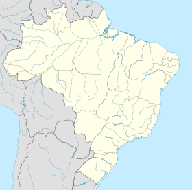
Localisation sur la carte du Brésil
 Crédit image: licence CC BY-SA 3.0 🛈 |
Itatira est une municipalité brésilienne de l’État du Ceará. En 2010, elle compte 18 894 habitants.
Notes et références
Source
- (pt) Cet article est partiellement ou en totalité issu de l’article de Wikipédia en portugais intitulé « Itatira » (voir la liste des auteurs).
Liens externes
- Site officiel
- Notice dans un dictionnaire ou une encyclopédie généraliste :
