Akola
| Akola अकोला | |||||
 Le fort d'Akola | |||||
| Administration | |||||
|---|---|---|---|---|---|
| Pays | |||||
| État ou territoire | Maharashtra | ||||
| District | District d'Akola | ||||
| Fuseau horaire | IST (UTC+05:30) | ||||
| Démographie | |||||
| Population | 427 146 hab. (2011[1]) | ||||
| Densité | 7 865 hab./km2 | ||||
| Géographie | |||||
| Coordonnées | 20° 42′ nord, 77° 00′ est | ||||
| Superficie | 5 431 ha = 54,31 km2 | ||||
| Localisation | |||||
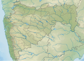
| Géolocalisation sur la carte : Inde
Géolocalisation sur la carte : Inde
Géolocalisation sur la carte : Maharashtra
Géolocalisation sur la carte : Maharashtra
| |||||
| Liens | |||||
| Site web | akola.nic.in | ||||
Akola (en marathi: अकोला ) est une ville de l'État indien du Maharashtra.
Géographie
Histoire
Économie
Patrimoine
Galerie
Notes et références
- ↑ (en) « Akola City Census 2011 data », census2011.co.in (consulté le )


