Zweibrücken-Land (Verbandsgemeinde)
Zweibrücken-Land
| Pays | |
|---|---|
| Land | |
| Arrondissement | |
| Chef-lieu | |
| Superficie |
124,68 km2 |
| Coordonnées |
49° 14′ 58″ N, 7° 21′ 39″ E |
| Population |
16 376 hab. |
|---|---|
| Densité |
131,3 hab./km2 |
| Statut | |
|---|---|
| Chef de l'exécutif |
Jürgen Gundacker (SPD) |
| Membre de |
Gemeinde- und Städtebund Rheinland-Pfalz () |
| Fondation |
1972 |
|---|
| Site web |
(de) www.vgzwland.de |
|---|
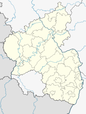
Géolocalisation sur la carte : Rhénanie-Palatinat
 Crédit image:
TUBS, versions later 2013-11: NordNordWest licence CC BY-SA 3.0 🛈 |
Géolocalisation sur la carte : Allemagne
 Crédit image:
licence CC BY-SA 3.0 🛈 |
Zweibrücken-Land (littéralement Deux-Ponts-Campagne) est une Verbandsgemeinde (collectivité territoriale) de l'arrondissement du Palatinat-Sud-Ouest dans la Rhénanie-Palatinat en Allemagne. Son siège, la ville de Deux-Ponts (Zweibrücken), n'en fait pas partie.
La Verbandsgemeinde consiste en cette liste d'Ortsgemeinden (municipalités locales) :


