Wörner
| Wörner | |||||
 Crédit image: licence CC BY-SA 3.0 🛈 Vue depuis le Geroldsee. | |||||
| Géographie | |||||
|---|---|---|---|---|---|
| Altitude | 2 474 ou 2 476 m[1],[2] | ||||
| Massif | Karwendel (Alpes) | ||||
| Coordonnées | 47° 26′ 58″ nord, 11° 20′ 16″ est[1],[2] | ||||
| Administration | |||||
| Pays | |||||
| Land autrichien Land allemand |
Tyrol Bavière |
||||
| District autrichien District allemand |
Innsbruck-Land Haute-Bavière |
||||
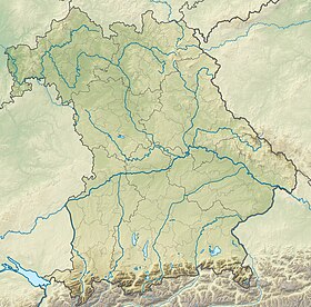
| Géolocalisation sur la carte : Autriche
Géolocalisation sur la carte : Allemagne
Géolocalisation sur la carte : Tyrol
Géolocalisation sur la carte : Bavière
| |||||
Le Wörner est une montagne qui s’élève à 2 474 ou 2 476 m d’altitude dans les Karwendel, à la frontière entre l'Allemagne et l'Autriche.
Notes et références
- (de) Cet article est partiellement ou en totalité issu de l’article de Wikipédia en allemand intitulé « Wörner (Alpen) » (voir la liste des auteurs).
- Visualisation sur BEV.
- Wörner sur Bayerische Vermessungsverwaltung.


