Standenbühl
| Standenbühl | |||
 Crédit image:
licence CC BY-SA 3.0 🛈 | |||
 Armoiries |
|||
| Administration | |||
|---|---|---|---|
| Pays | |||
| Land | |||
| Arrondissement (Landkreis) |
Mont-Tonnerre | ||
| Bourgmestre (Ortsbürgermeister) |
Gerhard Müller | ||
| Code postal | 67816 | ||
| Code communal (Gemeindeschlüssel) |
07 3 33 074 | ||
| Indicatif téléphonique | 06357 | ||
| Immatriculation | KIB | ||
| Démographie | |||
| Population | 179 hab. () | ||
| Densité | 143 hab./km2 | ||
| Géographie | |||
| Coordonnées | 49° 36′ 00″ nord, 7° 58′ 59″ est | ||
| Altitude | 224 m |
||
| Superficie | 125 ha = 1,25 km2 | ||
| Localisation | |||
| Géolocalisation sur la carte : Allemagne
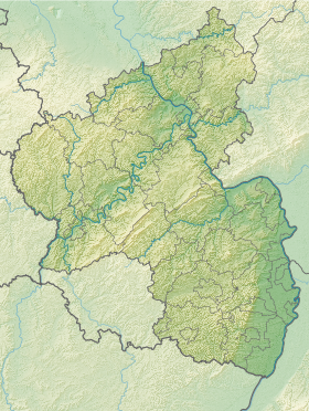
Géolocalisation sur la carte : Rhénanie-Palatinat
| |||
| Liens | |||
| Site web | www.vg-goellheim.de | ||
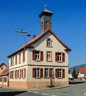
Standenbühl est une municipalité allemande située dans le land de Rhénanie-Palatinat et l'arrondissement du Mont-Tonnerre.


