Porangaba
| Porangaba | ||||
 Crédit image: licence CC BY-SA 4.0 🛈 Fragment de 520g de Meteorito Porangaba | ||||
| Administration | ||||
|---|---|---|---|---|
| Pays | Brésil | |||
| Région | Microrégion de Tatuí | |||
| État | ||||
| Maire | João Francisco São Pedro (PMDB) | |||
| Fuseau horaire | UTC-3 | |||
| Démographie | ||||
| Gentilé | porangabense | |||
| Population | 8 333 hab.[1] (2010) | |||
| Densité | 31 hab./km2 | |||
| Géographie | ||||
| Coordonnées | 23° 10′ 33″ sud, 48° 07′ 30″ ouest | |||
| Superficie | 26 656,5 ha = 266,565 km2 | |||
| Divers | ||||
| Date de fondation | 24/09/1860 | |||
| Localisation | ||||
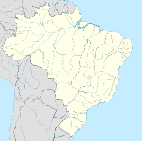
| Géolocalisation sur la carte : Brésil
Géolocalisation sur la carte : Brésil
Géolocalisation sur la carte : État de São Paulo
| ||||
| Liens | ||||
| Site web | http://www.porangaba.sp.gov.br/ | |||
Porangaba est une municipalité brésilienne de l'État de São Paulo et la Microrégion de Tatuí.


