Malhador
| Malhador Devise : Sourir, vivre, dire oui | ||||
 | ||||
| Administration | ||||
|---|---|---|---|---|
| Pays | Brésil | |||
| Région | Agreste du Sergipe | |||
| État | Sergipe | |||
| Langue(s) | portugais | |||
| Fuseau horaire | UTC-3 | |||
| Démographie | ||||
| Gentilé | malhadorense | |||
| Population | 12 042 hab.[1] (2010) | |||
| Densité | 119 hab./km2 | |||
| Géographie | ||||
| Coordonnées | 10° 39′ 28″ sud, 37° 18′ 18″ ouest | |||
| Altitude | 251 m |
|||
| Superficie | 10 094 ha = 100,940 km2 | |||
| Localisation | ||||
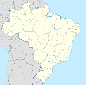
| Géolocalisation sur la carte : Brésil
Géolocalisation sur la carte : Brésil
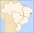
Géolocalisation sur la carte : Sergipe
| ||||
Malhador est une municipalité brésilienne située dans l'État du Sergipe.
Histoire

Crédit image:
licence CC BY-SA 4.0 🛈


