Hochvogel
| Hochvogel | |||||
 Crédit image: licence CC BY-SA 3.0 🛈 Le Hochvogel | |||||
| Géographie | |||||
|---|---|---|---|---|---|
| Altitude | 2 592 m[1],[2] | ||||
| Massif | Alpes d'Allgäu (Alpes) | ||||
| Coordonnées | 47° 22′ 50″ nord, 10° 26′ 12″ est[1],[2] | ||||
| Administration | |||||
| Pays | |||||
| Land allemand Land autrichien |
Bavière Tyrol |
||||
| District allemand District autrichien |
Souabe Reutte |
||||
| Ascension | |||||
| Première | 1832 par Trobitius | ||||
| Voie la plus facile | Par la cabane Prinz-Luitpold | ||||
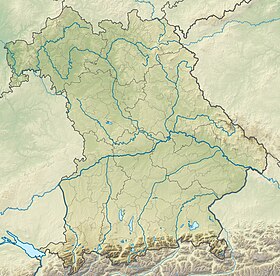
| Géolocalisation sur la carte : Autriche
Géolocalisation sur la carte : Allemagne
Géolocalisation sur la carte : Tyrol
Géolocalisation sur la carte : Bavière
| |||||
Le Hochvogel est un sommet des Alpes, à 2 592 m, dans les Alpes d'Allgäu, et en particulier dans le chaînon principal, entre l'Autriche (Land du Tyrol) et l'Allemagne (Bavière).
Notes et références
- Hochvogel sur Bayerische Vermessungsverwaltung.
- Visualisation sur BEV.


